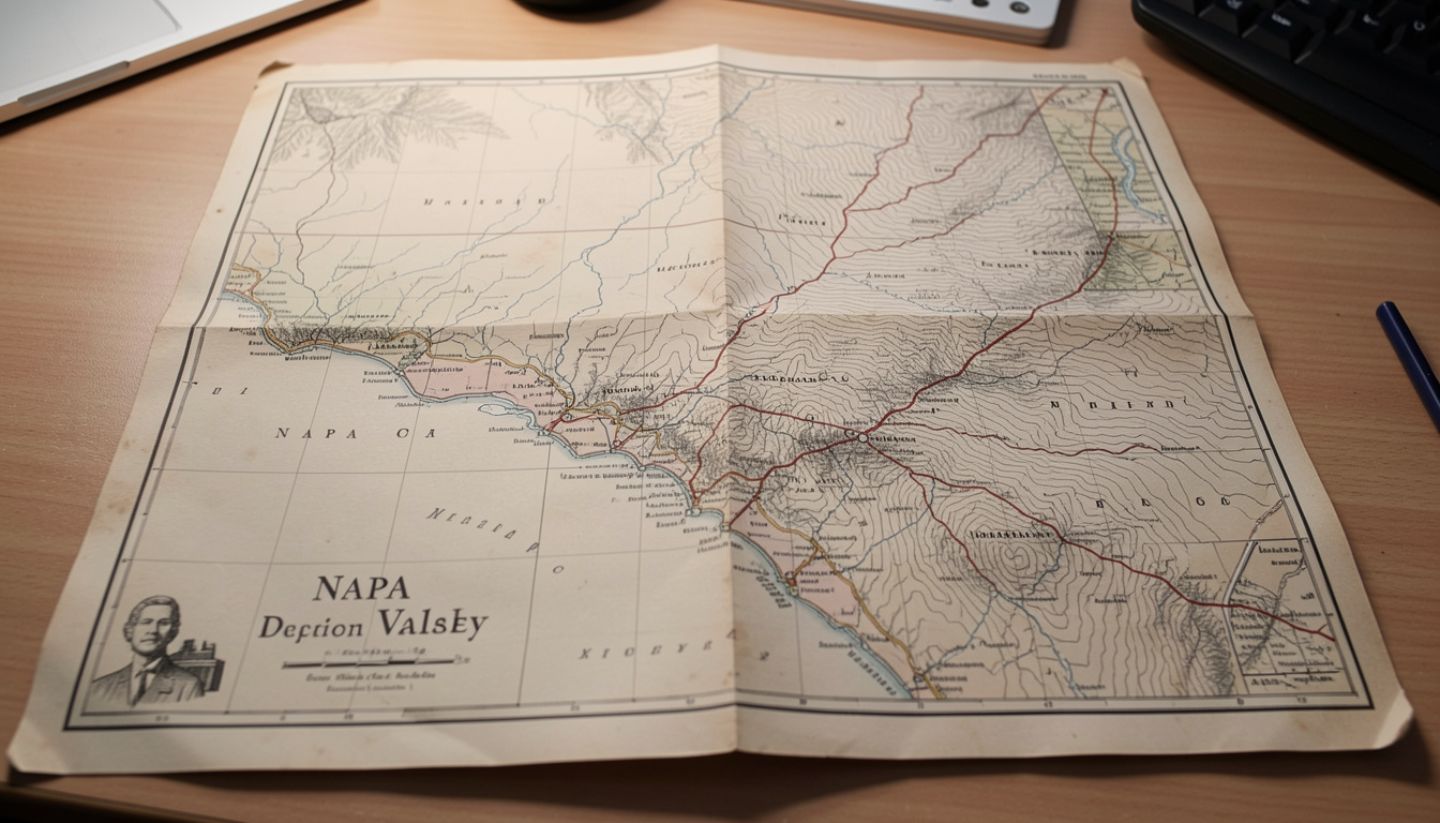
There is a way to understand Napa Valley that begins long before tasting rooms or reservations. It starts with paper maps browned at the edges, hand-drawn contours, and place names like Oak Knoll, Rutherford Bench, and Pope Valley that existed long before Cabernet had a voice here.
For travelers who love old maps and valley geography, Napa reveals itself as a landscape first and a destination second. Fault lines, ancient riverbeds, volcanic uplift, and natural corridors still decide where roads bend, where towns settled, and where vineyards succeed today.
What This Experience Is Really About
This experience is about learning to read the valley the way early surveyors did.
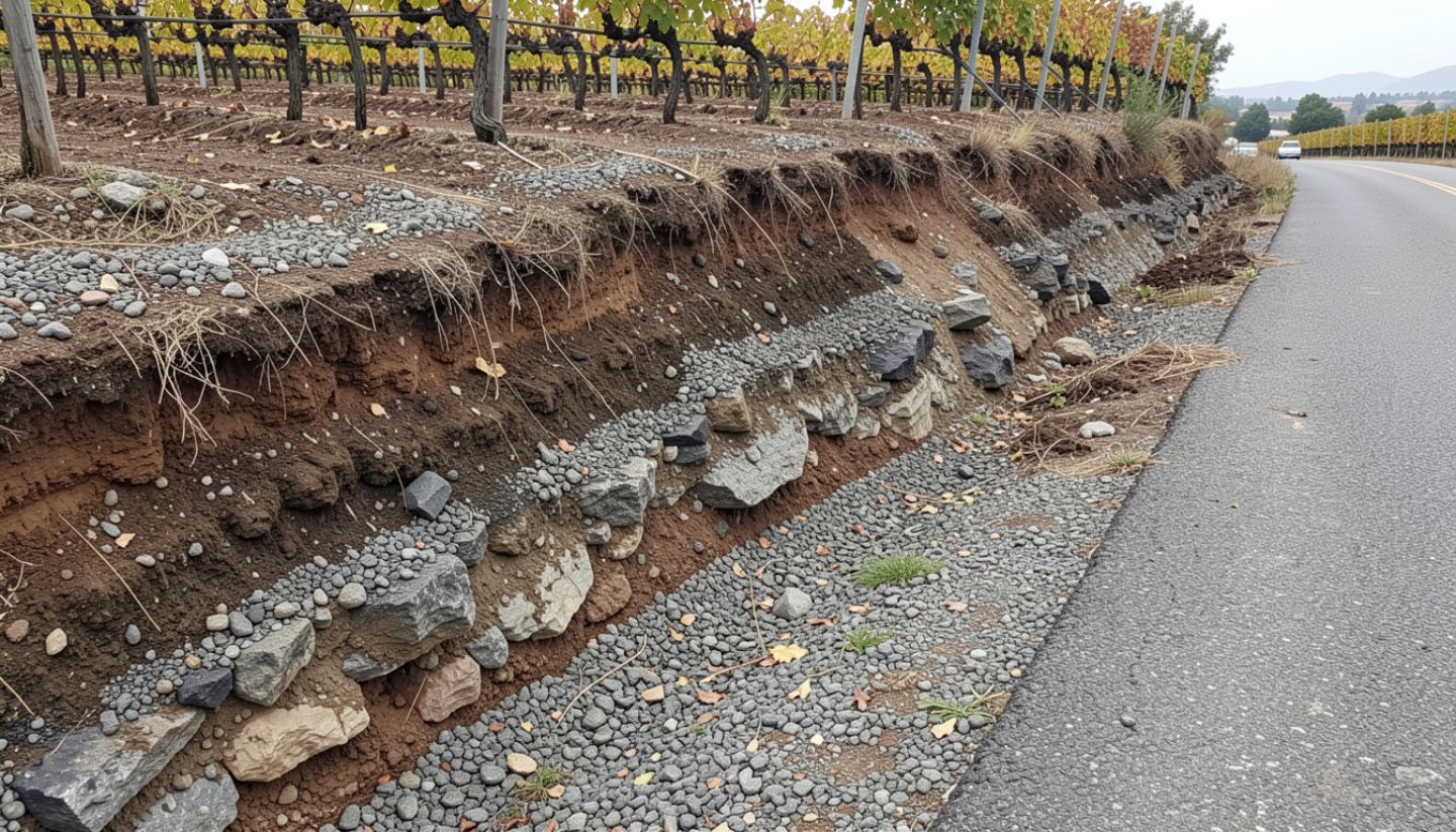
Old maps reveal:
- Hydrology through the original meanders of the Napa River before channelization
- Alluvial fans where centuries of runoff built fertile benchlands
- Volcanic and sedimentary divides between east and west sides of the valley
- Settlement logic based on soil stability, water access, and transport routes
Once you see these patterns, modern Napa feels inevitable rather than curated.
When It Is Best
Winter and early spring
Dormant vines expose slope, aspect, and row orientation. Without foliage, the valley’s structure becomes visible.
The quieter midweek
Tuesday through Thursday allows slower drives and safe pullouts along the Silverado Trail to study rock and soil changes.
Early mornings
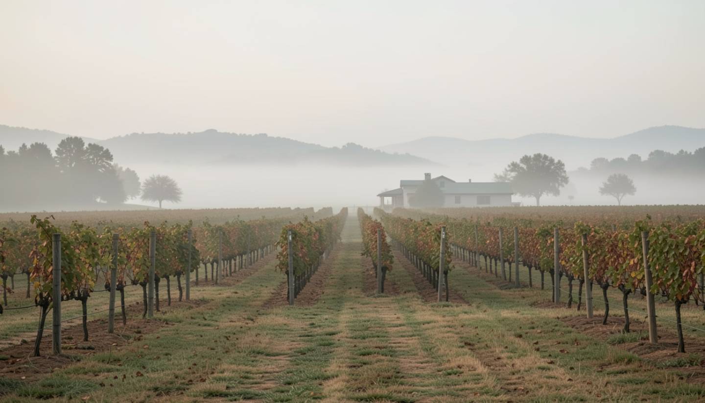
Fog outlines benches, valley floors, and river corridors in real time.
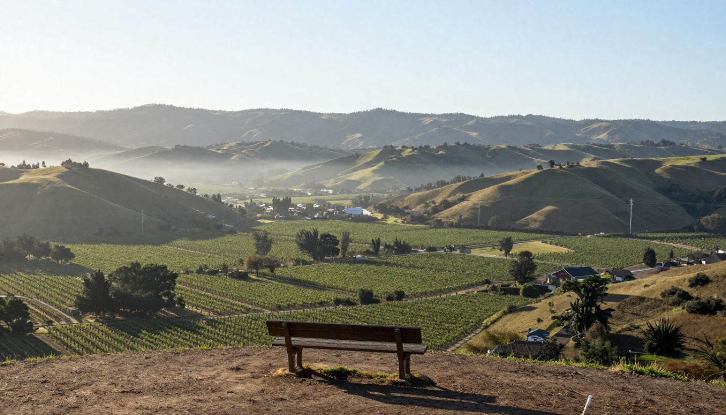
Where Geography Tells the Story
Rutherford Bench
An elevated alluvial fan built over centuries by river movement from the Mayacamas. Once you see it on a map, you feel it underfoot.
Coombsville
A volcanic bowl east of Napa. Cooler, enclosed, and defined by crater-like topography.
Mount Veeder
Folded, compressed terrain showing Napa’s western edge under tectonic pressure.
Pope Valley
A separate inland watershed north of Howell Mountain that feels older, drier, and geographically distinct from the main valley.
What Most Visitors Miss
Most visitors experience Napa as a sequence of stops.
What they miss is continuity. Old survey maps explain why towns like Yountville and St. Helena sit exactly where soils stabilized and water access aligned. Once you see that, Napa stops feeling designed and starts feeling earned.
My Local Notes
I grew up hearing place names like The Bench and The Gap long before I understood what they meant. Later, I started looking at early land surveys and realized how precise those names were.
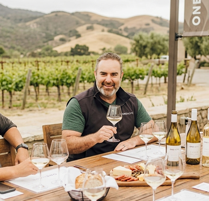
When we were shaping Estate 8, geography came first. Drainage. Exposure. Sightlines to the Mayacamas. ONEHOPE grew from that same respect for land as the starting point, not the backdrop. I am admittedly biased. Estate 8 is my purpose-driven baby. But every meaningful decision I have watched in Napa begins with a map, not a mood board.
A Gentle Geography-Focused Itinerary
Day One
Start in Yountville. Visit the Napa Valley Museum. Walk a stretch of the Vine Trail along the river and notice subtle elevation shifts.
Day Two
Drive the Silverado Trail slowly. Watch how the eastern Vaca Range stays rugged and volcanic while the western slopes soften into sediment.
Day Three
Head toward Pope Valley or climb Mount Veeder. Notice how the valley tightens, the air cools, and the fog line drops away.
Where to Eat When You Love Geography
Choose places where the setting reinforces the land:
- Brix for clear vineyard-to-mountain sightlines
- Charter Oak where stone, fire, and restraint echo the valley itself