If you live in Contra Costa County, you already know that geography shapes how places feel. Hills define neighborhoods. Waterways guide movement. Crossings like the Carquinez Strait or the San Pablo Bay tell you where history, trade, and weather converge. Napa Valley works the same way.
From above, Napa looks deceptively simple. One long valley running north to south. On the ground, it reveals itself as a layered landscape shaped by mountain ranges, fog lines, soil shifts, and old farm roads. Once you understand the map, Napa stops feeling like a list of wineries and starts feeling like a place you can move through with intention.
What This Experience Is Really About
This is not about memorizing a map for efficiency. It is about understanding how Napa fits together so your trip feels natural instead of rushed.
Visitors who grasp the layout move less and experience more. They cluster stops within specific AVAs, avoid unnecessary backtracking, and notice why one side of the valley feels warmer, quieter, or more dramatic than another.
For East Bay visitors used to navigating Walnut Creek, Mount Diablo, and the Carquinez corridor, Napa’s geography feels intuitive once you see how the two mountain ranges frame the valley.
The Basic Shape of Napa Valley
Napa Valley stretches roughly 30 miles from south to north.
South Napa and Carneros
Cooler, flatter, and strongly influenced by fog from San Pablo Bay. Morning light here is soft and muted.
Mid Valley and the Benchlands
Yountville, Rutherford, and St Helena sit where the valley floor meets the lower slopes. This is the heart of Napa
Cabernet country and where geography and agriculture most clearly intersect.
North Valley and Calistoga
Farther from the bay, warmer during the day, and shaped by volcanic soils and geothermal features.
Two mountain ranges define the valley.
Mayacamas Mountains to the west
They separate Napa from Sonoma and play a major role in fog movement and afternoon shade.
Vaca Range to the east
Drier, steeper, and quieter, catching early morning light and offering long vineyard views.
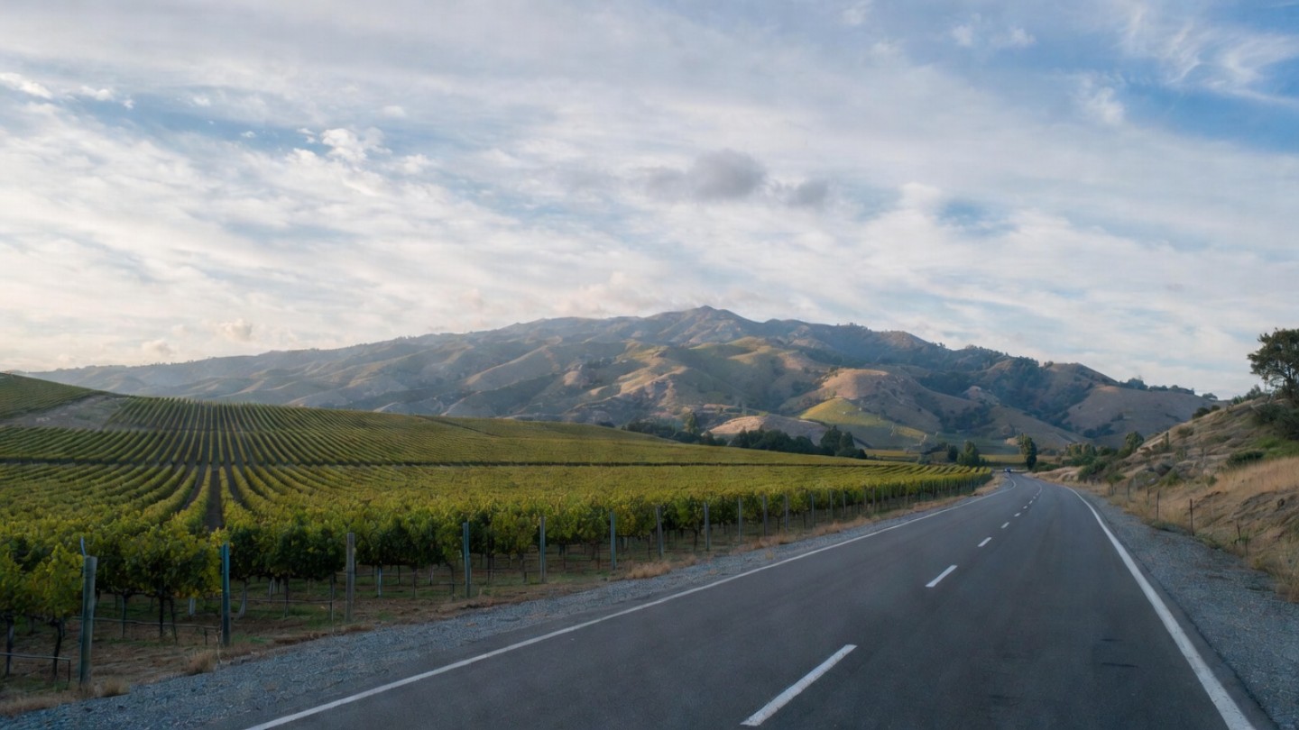
Highway 29 vs Silverado Trail
Understanding these two parallel roads changes how Napa feels.
Highway 29
Runs through the center of the valley. It connects towns, restaurants, and tasting rooms. It is convenient but often congested on weekends.
Silverado Trail
Runs along the eastern edge near the Vaca foothills. It is more agricultural, more open, and the route many locals prefer when moving north and south.
Local directional note
Use crossroads like Yountville Cross Road, Oak Knoll Avenue, or Zinfandel Lane to shift between the two roads rather than committing to one all day.
Valley Floor vs Hillsides
Most maps flatten Napa. The real story is vertical.
Valley floor
Gentle terrain, easier access, and walkable towns. Ideal for dining, strolling, and relaxed tastings.
Hillsides and benches
Areas like Mount Veeder, Spring Mountain, Atlas Peak, and the Rutherford Bench feel more removed. Nights are darker. Roads wind. Views open up. Geography here shapes both mood and wine style.
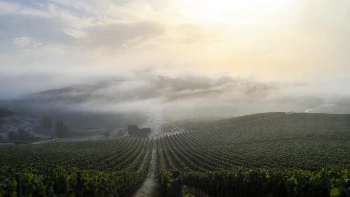
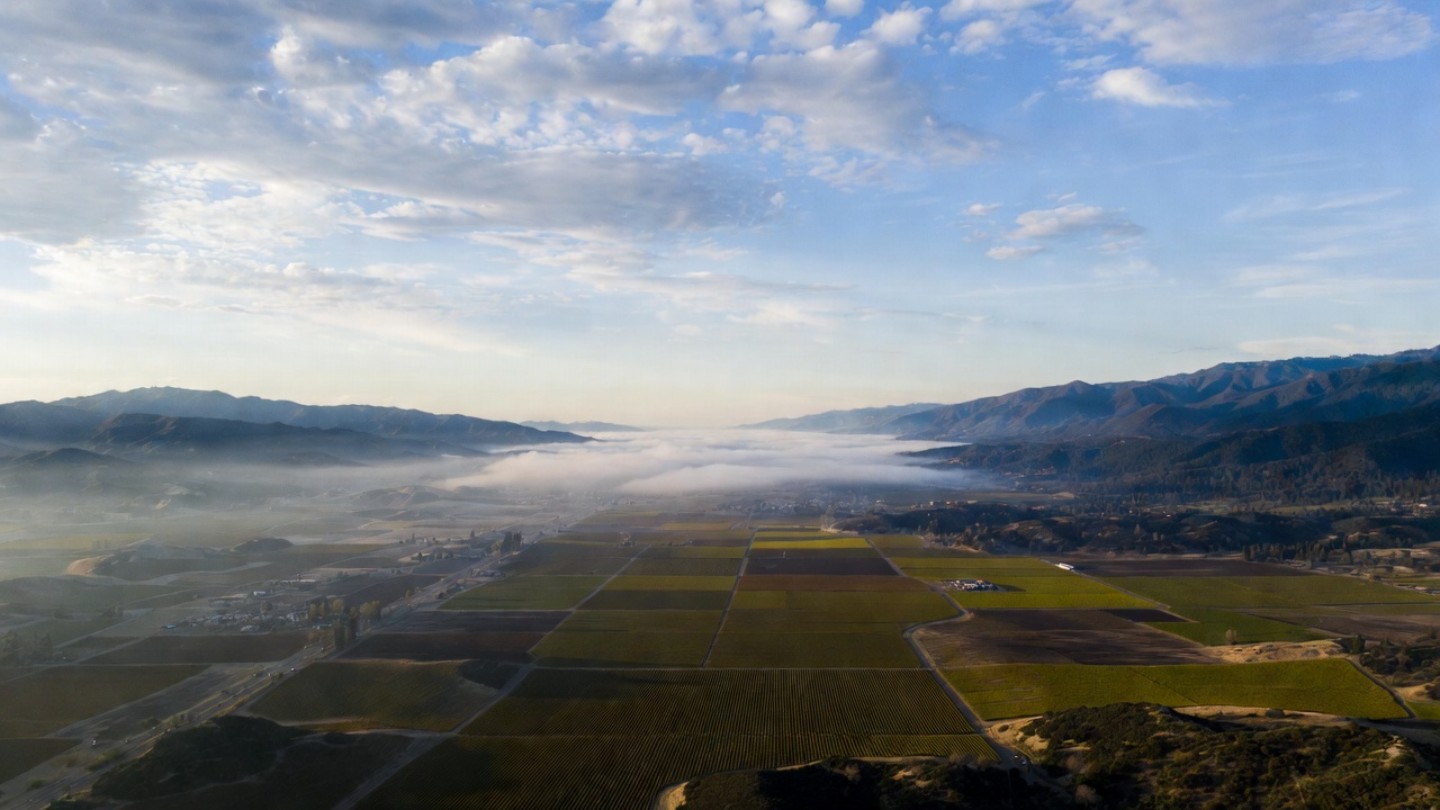
Fog, Light, and Seasonal Patterns
Fog enters Napa from the south, pushed inland from San Pablo Bay.
- South Napa often wakes cool and gray
- Mid valley clears by late morning
- North Napa stays warmer and sunnier longer
In summer, temperatures can vary by 10 to 15 degrees from south to north. In winter and early spring, mustard blooms light up the valley floor, turning geography into color.
What Most Visitors Miss
They underestimate elevation and time.
Ten minutes on a map can become thirty minutes on a narrow mountain road like Mount Veeder Road. Locals plan by zones rather than by scattered names. You hear phrases like the Rutherford afternoon or staying north today.
That mindset changes everything.
A Small Personal Story
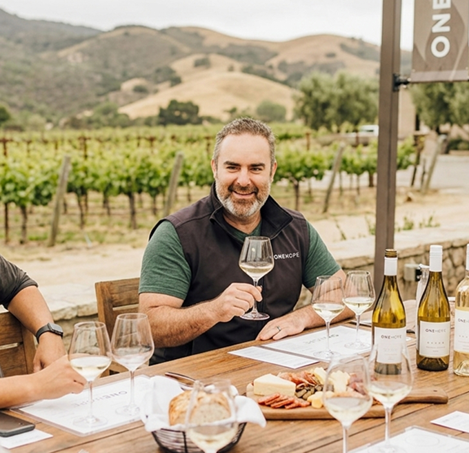
When I was younger, I thought of Napa as one long road. Over time, walking vineyard rows, driving Silverado Trail at dawn, and climbing into the hills after winter storms taught me otherwise. The valley has edges, layers, and pauses. Even at Estate 8, small shifts in elevation and exposure change how the land feels hour by hour. Once you start noticing that, Napa never looks flat again.
How to Use Geography to Plan a Better Trip
Choose one zone per half day
Do not bounce from Calistoga to Carneros and back.
Pair roads with intention
Highway 29 for towns and meals. Silverado Trail for scenery and calm.
Let light guide you
Mornings in the south. Afternoons in the north. Evenings along the western edge.
Understanding the map reduces driving and deepens experience.