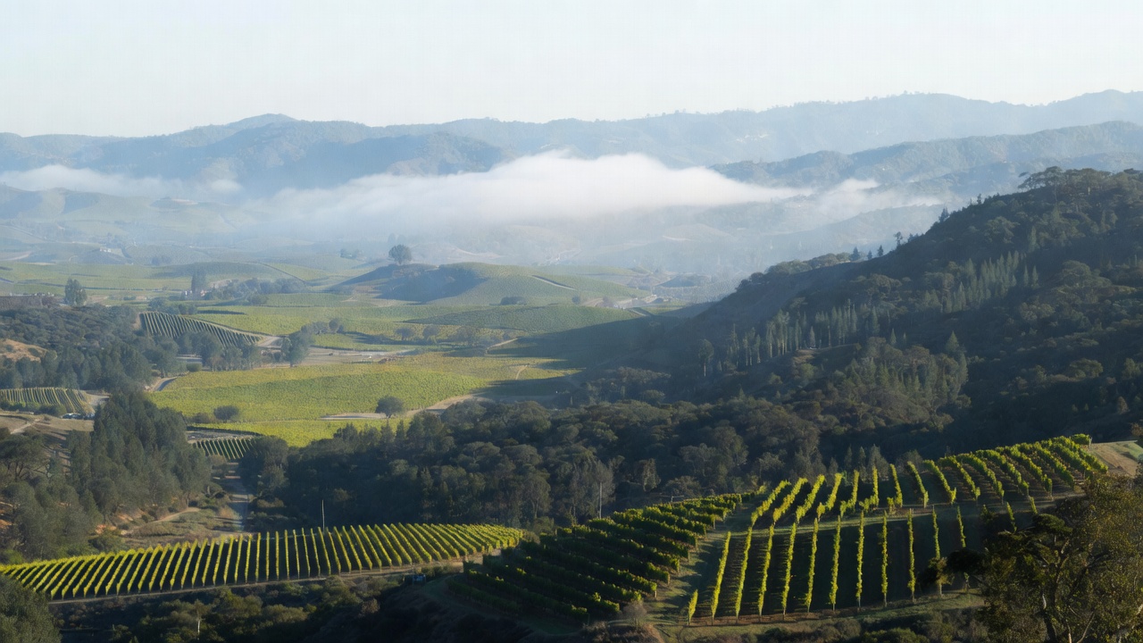
On certain winter mornings, when the lift of the fog slowly reveals the Mayacamas to the west and the Vaca Range to the east, Napa Valley looks less like a postcard and more like a case study.
You can see the slope angles. The preserved oak woodlands. The way the valley floor holds moisture differently than the Rutherford benchlands. You notice how development pulls back at certain lines and presses forward in others. Those lines are not accidental. They are policy decisions, soil decisions, water decisions.
Most visitors see cabernet light in early evening.
If you are studying climate travel in Napa or conducting a land use study, you see a living system shaped by intention.
What This Experience Is Really About
Napa Valley is a long running conversation between land, regulation, agriculture, and hospitality.
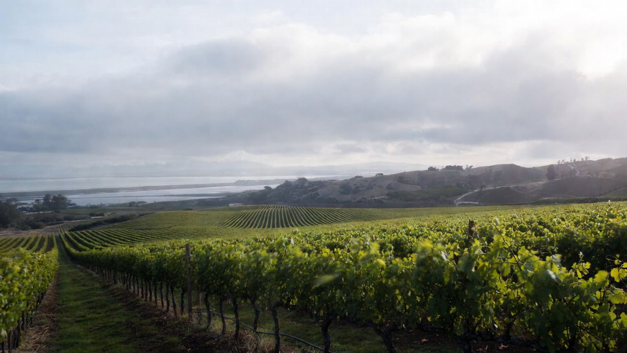
At just 30 miles long and a few miles wide in most sections, it compresses marine air, volcanic soils, river sediment, elevation shifts, and tourism pressure into a remarkably tight geographic band.
Drive five minutes north on Silverado Trail and temperatures subtly change. Turn west just past Yountville Cross Road and climb toward Spring Mountain and you will cross soil types and canopy strategies within a single winding ascent. Head south into Carneros and the wind off the bay reshapes the vine structure entirely.
For those planning a Napa visit with climate or environmental focus, this is not abstract theory. It is visible from the roadside.
A Short Personal Story
I remember one late afternoon when we were still walking raw land before Estate 8 was fully planted. I stood at the edge of the slope watching how the last light hit the rows. It was beautiful, yes. But what struck me more was how the water moved after a light rain earlier that week.
You could see the story of drainage written into the soil.
That was the moment I understood that building something here is never just about wine. It is about responsibility to the hillside, to the watershed, and to the families who have farmed here long before I did.
When It Is Best to Visit
Late Winter through Early Spring
This is when cover crops are visible, erosion control systems are easier to study, and the structure of the vineyard is fully exposed.
Harvest Season, September and October
You will see heat management, picking decisions, and smoke contingency planning in real time. It is intense, but deeply educational.
The slower, truer Napa midweek
Between harvest and summer rush, growers often have more time to speak about soil science, water usage, and climate adaptation.


What Most Visitors Miss
The Agricultural Preserve
In 1968, Napa County established one of the first Agricultural Preserves in the country. It limited non agricultural development and permanently shaped how this valley evolved. That decision is the reason you still see long stretches of vineyard instead of suburban sprawl.
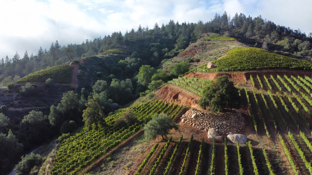
Hillside Regulation
Drive up Spring Mountain Road or toward Howell Mountain and you will notice forest woven between vineyard blocks. Clear cutting is heavily restricted. Erosion control plans are scrutinized. That balance is intentional.
Water Is the Ongoing Dialogue
Dry farming versus drip irrigation. Reservoir permitting. Groundwater monitoring. The conversation never really stops.
Fire Has Changed the Landscape
Recent wildfire seasons reshaped building materials, vegetation management, and emergency planning throughout the Mayacamas. Climate study in Napa cannot ignore fire ecology.
How to Structure a Climate Focused Napa Visit
If you are planning climate travel in Napa Valley, consider layering your itinerary by geography and elevation.
Morning in Carneros
Start in the south where San Pablo Bay sends cool air inland. Observe wind patterns and lower alcohol styles of wine shaped by climate.
Midday along Silverado Trail
Travel north past Oakville and Rutherford. Notice vineyard density, slope orientation, and soil color changes.
Afternoon at Elevation
Climb toward Howell Mountain or Spring Mountain. Study how forest retention and vineyard blocks coexist.
This north to south progression reveals how narrow geography produces wide climate variation.
Where to Eat Near Key Study Areas
Napa’s food culture reflects its agricultural identity.
Farmstead at Long Meadow Ranch in St. Helena
Integrated farm to table philosophy with working farmland attached.
Gott’s Roadside near the center of the valley
An easy midday stop along Highway 29 when moving between study sites.
Bouchon Bistro in Yountville
Located near Yountville Cross Road and the culinary corridor, it represents how hospitality grew alongside agricultural preservation.
Nearby Wineries Worth Visiting for Environmental Perspective
Look for wineries that openly discuss:
- Dry farming practices
- Regenerative agriculture
- Biodynamic certification
- Water recapture systems
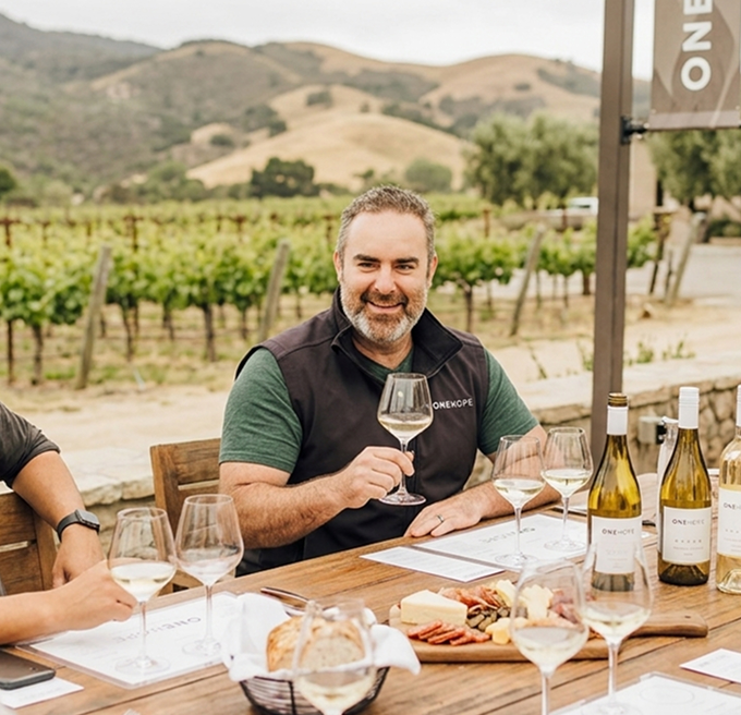
Frog’s Leap and Quintessa are often transparent about these topics. Mountain producers frequently speak candidly about slope management and erosion planning.
And yes, I am a little biased toward Estate 8 when conversations turn to thoughtful land stewardship. It is my passion project and my responsibility. But Napa has many producers who take that responsibility seriously.