There is a particular satisfaction in unfolding a paper map across the hood of your car just off Silverado Trail.
Before GPS rerouted us every three minutes, Napa was learned by landmarks. The white church steeple in St. Helena. The subtle bend at Yountville Cross Road. The way Mt St Helena rises at the northern edge of the valley like a fixed compass point.
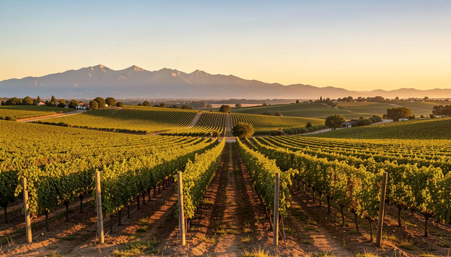
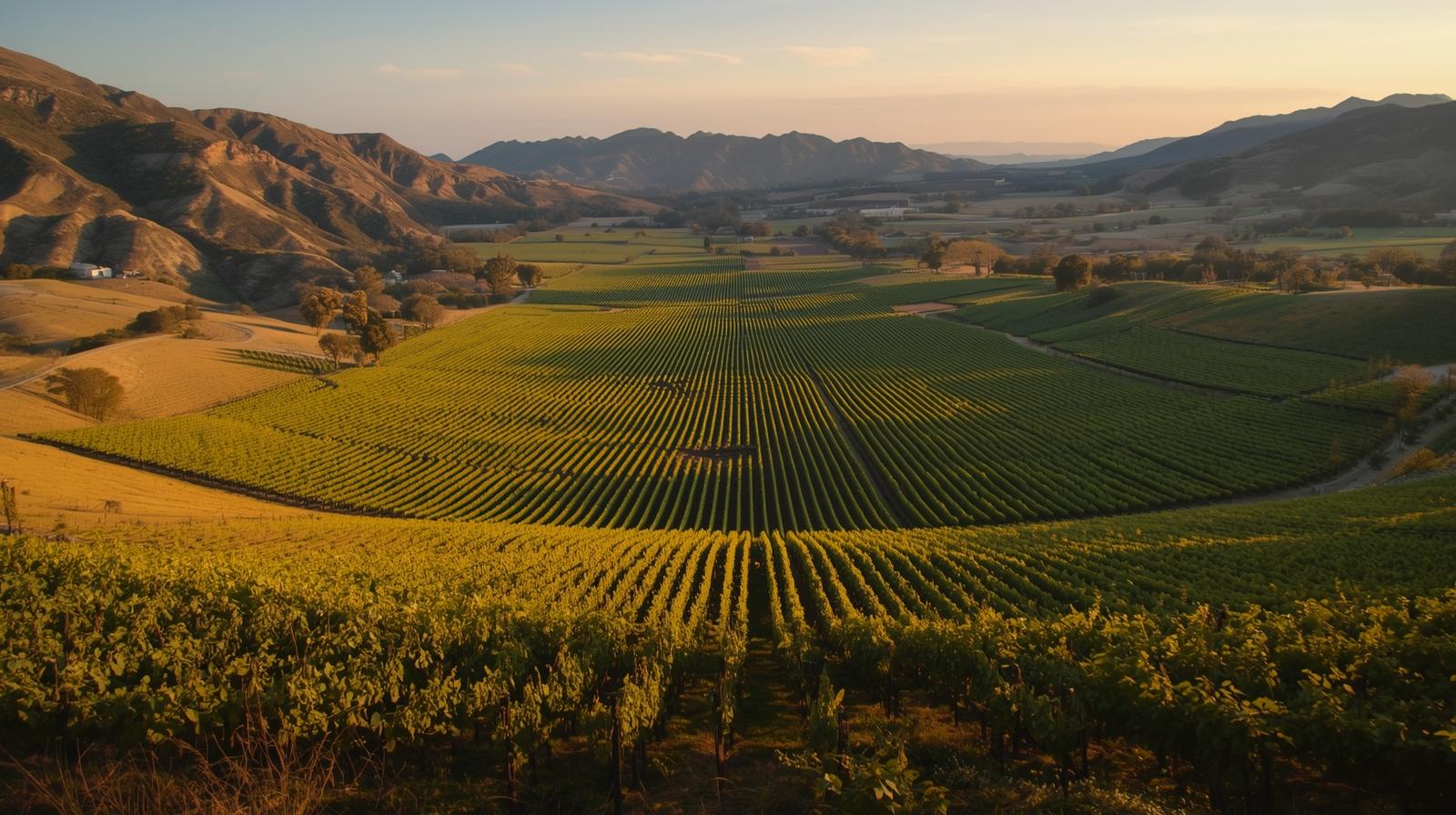
I grew up learning Napa by orientation, not by app. You knew you were in Rutherford because the valley floor widened and the dust turned lighter under your shoes. You felt Oakville before you saw the sign because the vineyards began to tilt gently toward the Mayacamas. As you drive north toward Calistoga, the mountains narrow in and the air shifts slightly cooler.
For people who love maps, trails, and the quiet art of navigation, wayfinding in Napa Valley is not just about getting somewhere. It is part of the experience itself.
What This Experience Is Really About
Wayfinding Napa style is about paying attention to the land.
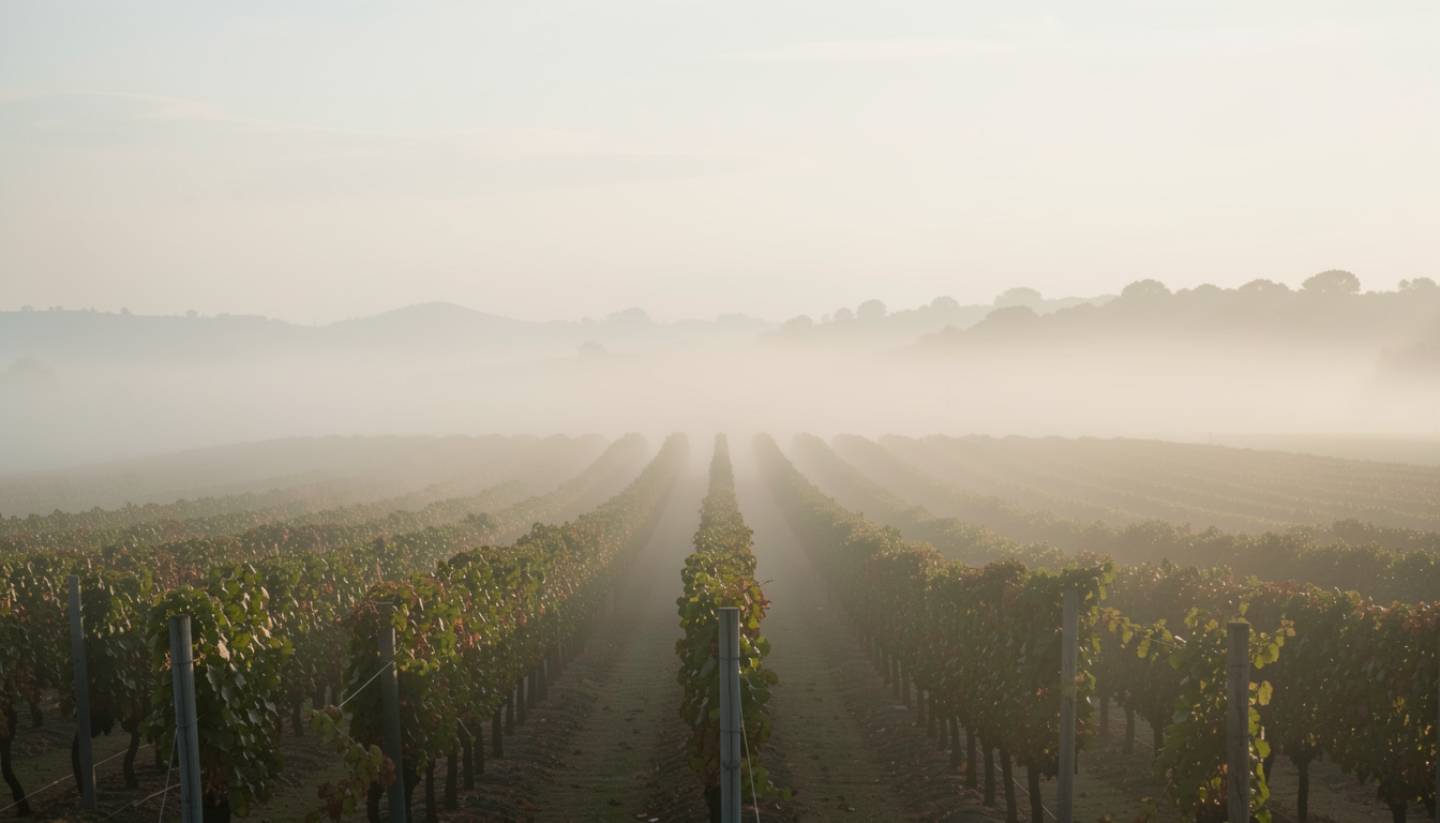
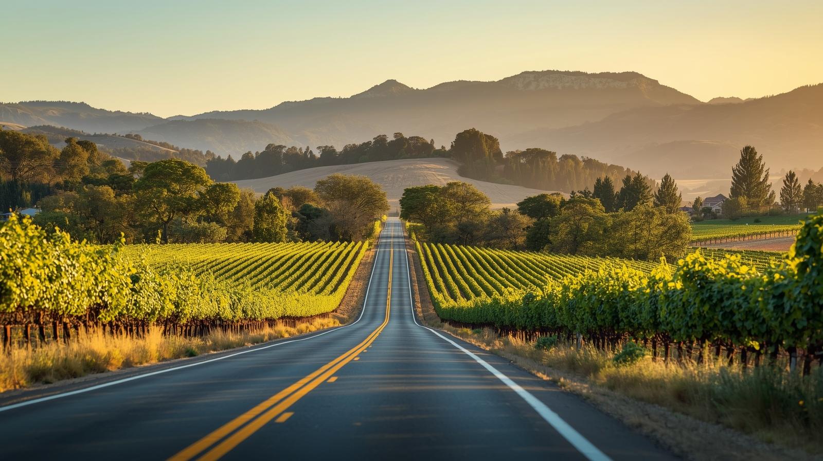
Silverado Trail runs quietly along the eastern edge of the valley floor. It feels more agricultural and less commercial than Highway 29. Driving it slowly reveals subtle elevation shifts, changing vineyard densities, and the way morning light hits the Vaca Range.
Hiking trails add another layer.
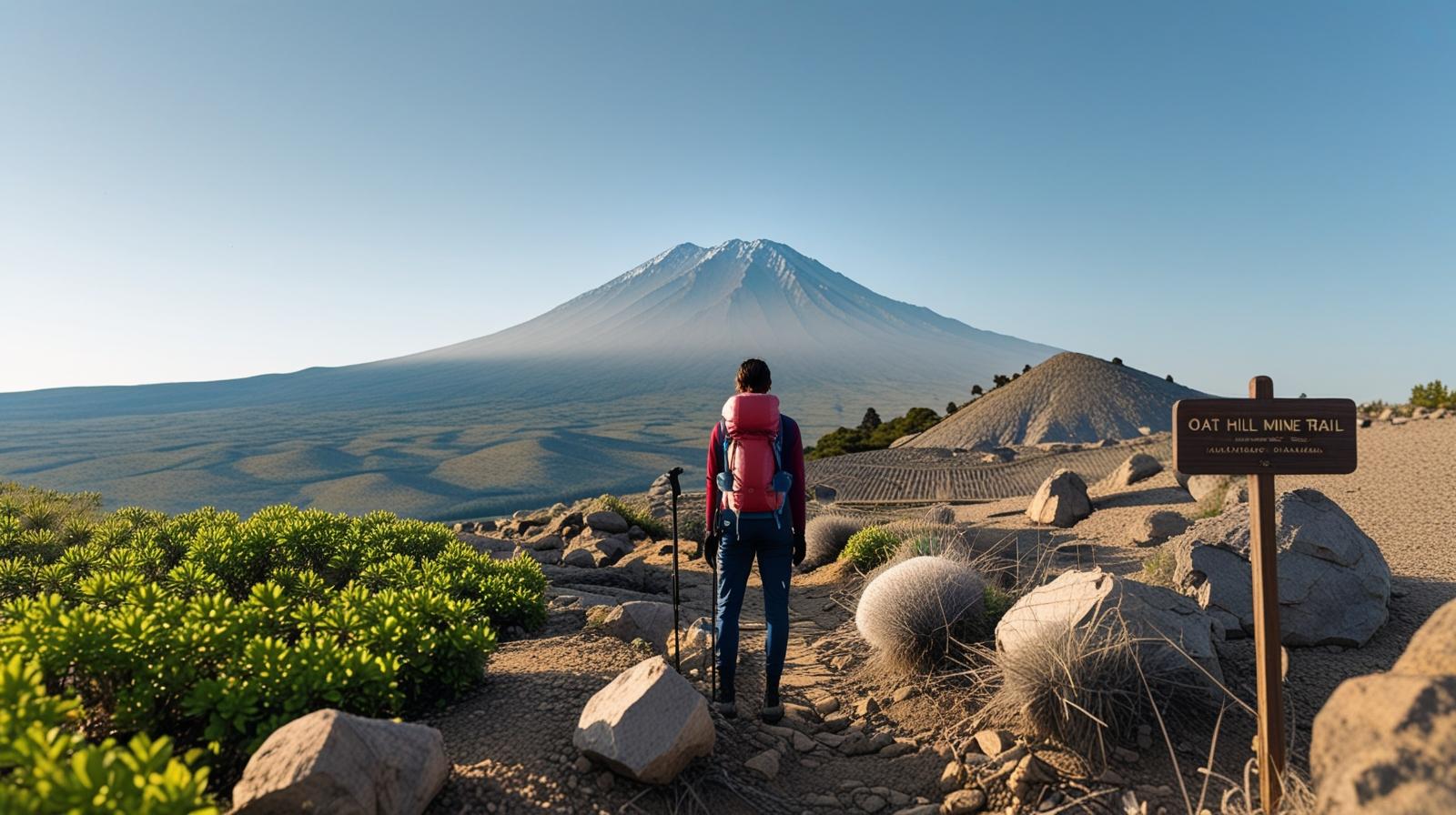
Skyline Park above Downtown Napa gives you a southern perspective across the valley floor. Oat Hill Mine Trail near Calistoga climbs through volcanic rock toward Mt St Helena. The Napa River Trail offers a flat, meditative path through town.
Navigation becomes a way to understand Napa beyond tasting rooms and restaurant reservations. It becomes participation.
When It Is Best
Mustard season from January through March makes the valley contours visually dramatic. The bright yellow blooms between vineyard rows highlight the Rutherford Bench and make the lines of the land easier to read.
Harvest season from September through October adds motion to the map. Trucks move along Highway 29. Vineyard crews work in coordinated rows. You can see the season unfolding in real time.
Early mornings offer the clearest sightlines before the cabernet light softens the horizon and traffic builds.
What Most Visitors Miss
Many travelers rely entirely on digital navigation and move quickly from winery to winery. Locals know the in between geography tells the real story.
Drive five minutes north of Yountville Cross Road and notice how the valley floor opens wide.
Continue past Oakville toward St. Helena and feel the gradual rise.
Push farther north into Calistoga and watch the mountains draw closer together.
Those transitions are not just scenic. They are structural. They shape wine styles, farming practices, and even hospitality tone.

My Local Notes
As a kid, I rode shotgun while my father pointed out landmarks. He would say, look how the wind shifts here near Rutherford. Notice how the eastern hills catch light earlier than the western slopes.
Those lessons shaped how I see the Valley.
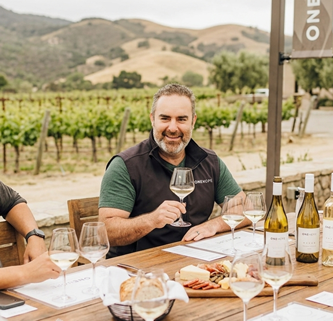
When we were planning Estate 8, orientation mattered deeply to me. I am a little biased since it is one of my passion projects, but we positioned the estate to capture specific vineyard sightlines that guide your eye outward toward Mt St John and the surrounding hills. Wayfinding is not just about roads. It is about where your gaze lands when you sit down at a table.
Even now, when I need to clear my head, I choose Silverado Trail over Highway 29. It feels like the original Napa. Less hurried. More honest.
How to Make It Memorable
If you love wayfinding Napa style travel, try this:
Start your morning with a hike in Skyline Park overlooking Downtown Napa.
Drive north along Silverado Trail and stop at one estate winery in Oakville or St. Helena.
Use a printed trail map for Oat Hill Mine Trail in Calistoga instead of relying solely on your phone.
Walk Yountville end to end without digital navigation and notice how its compact grid encourages connection.
Let the map guide you, but allow small detours. Sometimes the best discoveries sit just beyond the marked route.
If You Only Have One Day
Morning hike at Skyline Park.
Midday scenic drive on Silverado Trail with one seated tasting in St. Helena.
Late afternoon stroll along the Napa River Trail downtown.
That loop gives you ridge, valley floor, river, and town orientation in a single day.
Where to Stay for Navigation Focused Travel
Downtown Napa offers access to the Napa River Trail and Skyline Park.
St. Helena sits centrally between Highway 29 and Silverado Trail, ideal for vineyard exploration.
Calistoga provides a northern base near Oat Hill Mine Trail and Mt St Helena.
Choose lodging with easy road access and walkable surroundings to maximize flexibility.